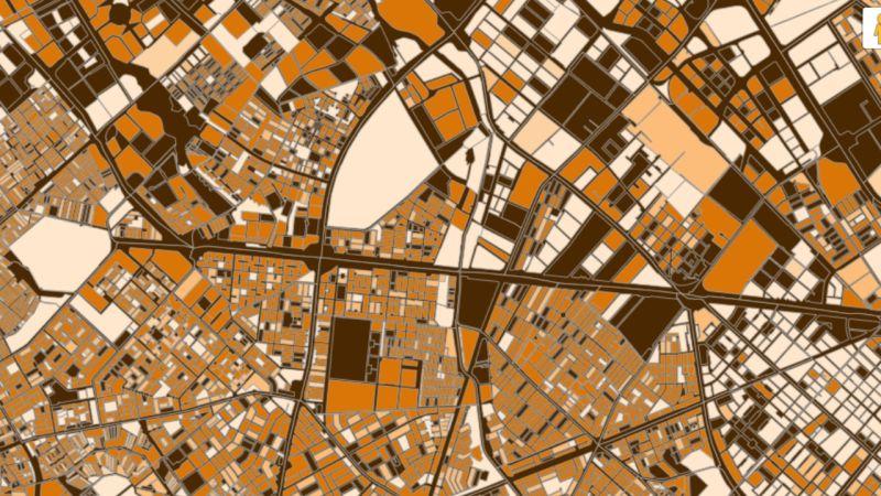
A new study published by our Phd Student Edith Darin, together Ridhi Kashyap and Douglas Leasure from the Leverhulme Centre for Demographic Science, Oxford Population Health, in Population, Space and Place delivers the clearest assessment yet of how satellite-derived settlement maps can estimate populations where recent censuses are missing or incomplete.
Why it matters
Many countries still rely on outdated counts, hampering public health, urban planning, disaster response, and fair resource allocation. Using Colombia’s high-quality 2018 census with a coverage indicator as a controlled testbed, the team rigorously evaluates end-to-end “census-independent” pipelines.
What the study shows
- Inputs matter: Building footprints (Google/Microsoft) consistently beat coarser “built-up surface” or land-cover products for predicting people.
- Model choice depends on data quality:
- Hierarchical Bayesian models excel when inputs are scarce or biased, yielding robust estimates and explicit uncertainty.
- Random forests win when inputs are detailed and unbiased.
- Scale and setting: Accuracy improves at aggregated (municipality) scales; sparsely populated and densely forested regions (eg Amazonia, Pacífica) remain hardest to predict.
- Sample size: More ground truth reduces variability across runs, but only modestly boosts average accuracy.
Key takeaways for practitioners
- Prioritise building-footprint data where available;
- Use Bayesian calibration with sampled building counts to correct bias when footprints are missing or patchy;
- Quantify uncertainty and validate at multiple spatial scales;
- Plan for context – performance varies by region, settlement type, and land cover.
Edith Darin, lead author of the article noted 'These results are especially relevant for organisations working on health, humanitarian aid, and Sustainable Development Goal monitoring in regions with limited data infrastructure.'


